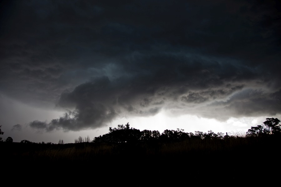
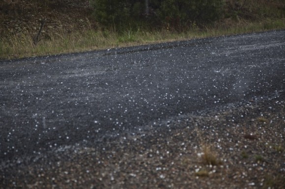
Chasing does not always reward patience, but on 8 March 2014 it nearly did. The pick for the day was a cell south of Gunning in the Southern Tablelands, and for most of the afternoon it sat in the same area and did nothing at all. The moment it was abandoned for other storms with darker cores, of course, it went severe — black core and all — and the chaser was still close enough to get back into position. Radar showed what looked like a hook or inflow notch, with a possible couplet on a frame or two, and fresh easterly winds were feeding into the storm. Hail to 2 cm was measured, which confirmed the severe classification, and the cell carried on throwing black cores for at least another hour before weakening near Lake George. There is a little time lapse to go through, and the inflow feature did not survive on the radar archive, which is always frustrating. A modest hailstone, a long afternoon, and a good reminder that the boring storm on the chart can still be the one worth watching.